|
|
| Author: |
Joseph James Hargrave |
| Title: |
Red River |
| Publisher: |
John Lovell, Montréal |
| Year Published: |
1871, First Printing |
| Copyright Holder: |
Expired; please credit publisher as John Lovell. |
|
|
|
Joseph James Hargrave (1841-1894) was the eldest son of HBC Chief Trader James Hargrave and his wife Letitia. Educated in Scotland, Joseph James returned to Rupert's Land in 1861 as an apprentice clerk in the HBC, and served as secretary to his uncle, William MacTavish, Governor of Assiniboia and of Rupert's Land. In 1869, he began writing weekly articles for the Montreal Herald about the Northwest and the anticipated transfer of Rupert's Land to Canada.
His 1871 book, Red River, is regarded as the best history of Red River written in the 19th century. It is both a history and personal observation of the economic, social, political and religious life of Red River, and argues that the settlement and its institutions owed their existence to the vitality of the fur trade.
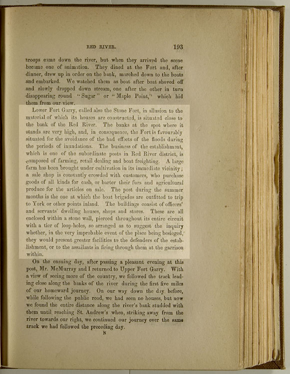
This is a description of Lower Fort Garry. p 193, 2nd pgh: "Lower Fort Garry... the garrison within."
"Lower Fort Garry, called also the Stone Fort, in allusion to the material of which its houses are constructed, is situated close to the bank of the Red River. The banks at the spot where it stands are very high, and, in consequence, the Fort is favourably situated for the avoidance of the bad effects of the floods during the periods of inundations.
The business of the establishment, which is one of the subordinate posts in Red River district, is composed of farming, retail dealing, and boat freighting. A large farm has been brought under cultivation in its immediate vicinity; a sale shop is constantly crowded with customers, who purchase goods of all kinds for cash, or barter their furs and agricultural produce for the articles on sale.
The post during the summer months is the one at which the boat brigades are outfitted to trip to York or other points inland. The buildings consist of officers’ and servants’ dwelling houses, shops and stores. These are all enclosed within a stone wall, pierced throughout its entire circuit with a tier of loop-holes, so arranged as to suggest the inquiry whether, in the very improbable event of the place being besieged, they would present greater facilities to the defenders of the establishment, or to the assailants in firing through them at the garrison within."
Other
Related Material
Read more excerpts from Red River - enter 'Hargrave' in the search box to your left.
Read more or see images of Lower Fort Garry - enter 'Lower Fort Garry' in the search box to your left.
What does Joseph James Hargrave look like?
Check the Beaver Index - e.g., Lower Fort Garry, Upper Fort Garry, trading posts, etc.
Visit Lower Fort Garry and take a virtual tour using an interactive map.
|
Did
You Know?
The Company farm at Lower Fort Garry began with between 40 and 50 acres in 1857, but close to 100 acres were cultivated in 1858. The farm grew wheat, barley, oats, peas, potatoes, and turnips; it also included a considerable herd of oxen and smaller numbers of pigs, sheep, and dairy cattle.
|
|